Cyclone Yaas: What is expected of the impending natural calamity
The intensity of the rain will go up as the system nears land, but the storm is unlikely to cause the kind of devastation in Calcutta that Amphan did

Till Monday evening, the system was crawling at 4kmph. But the speed picked up in the evening. By the time it nears land, the system will have attained a speed close to 20km an hour, a Met official said.
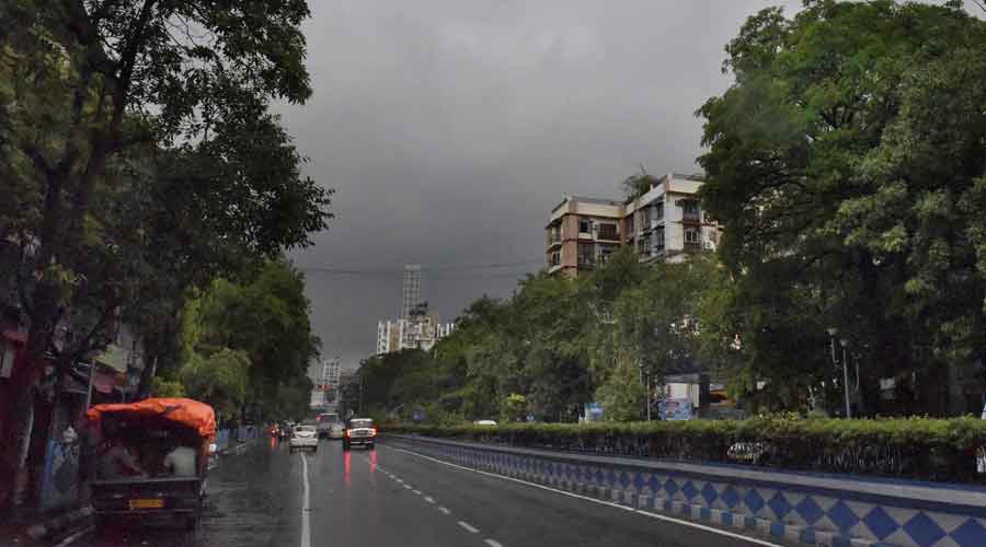
Dark clouds in Calcutta were followed by intermittent rain on Monday. Some small cloud masses that were part of the outer boundary of the cyclone system had drifted away towards the city and other coastal districts of Bengal, the Met official said.
The intensity of the rain will go up as the system nears land. But the storm is unlikely to cause the kind of devastation in Calcutta that Amphan did, Met officials said.
East Midnapore, the coastal district bordering Odisha, is likely to bear the brunt of the storm in Bengal. The sea resort of Digha is around 90km from Balasore. During landfall, East Midnapore is likely to be lashed by winds gusting up to 185kmph, a Met official said.
The system that was a depression over the east-central Bay on Sunday intensified into a cyclone by Monday morning. Around 8.30pm on Monday, the storm was 510km from Balasore and 500km from Digha. It was travelling at 12kmph.
It would become a very severe cyclonic storm by Tuesday morning and stay that way while hitting land around noon on Wednesday, a Met official said.
In its prime, Yaas will have a diameter of around 700km, similar to that of Amphan. But there is a difference between the two.
Amphan had turned into a super cyclone — the second on the Bay of Bengal since the 1999 Odisha super cyclone — over the sea. It may be hard to believe because of the devastation it caused but Amphan had actually lost some steam while over the sea and turned into a very severe cyclonic storm when it made landfall.
Amphan had been over the sea for a week and had lost some of its strength because of the long journey, Met officials said. When the system was a depression, it was over 1,000km from the Bengal coast. The system that became Yaas was a depression around 650km from the Bengal coast on Sunday.
“A storm’s ferocity is decided by its intensity. The intensity of Amphan was a couple of notches higher than that of Yaas,” said Mrutyunjaya Mohapatra, cyclone forecasting specialist at the India Meteorological Department, New Delhi.
Yaas is moving in a north-northwest direction and is tipped to stick to that path. Amphan too had initially travelled in a north-northwest direction but 48 hours before landfall, it made a recurve and started moving north-northeast towards the Bengal and Bangladesh coasts.
Asked if Yaas was still capable of springing such a surprise, a Met official in Calcutta said that was “highly unlikely”.
“Winds steer a system on the sea. The winds are steering Yaas in a north-northwest direction. There is little chance of the winds forcing a recurve,” a Met official in Calcutta said.
The storm will be near northwest Bay of Bengal, off the Bengal-Odisha coast, by early morning on Wednesday.
It is expected to cross land around May 26 noon as a very severe cyclonic storm close to Balasore in Odisha, said Sanjib Bandyopadhyay, deputy director-general of IMD Calcutta.
During landfall, the system will generate wind speeds of around 155-165kmph, Bandyopadhyay said.
After landfall, the storm will head towards Jharkhand as a weakened depression, a Met official said.
At Kendrapara, Bhadrak and Balasore in Odisha and East Midnapore in Bengal, the storm is expected to generate wind speeds of 155-165kmph, with gusts up to 185kmph, during landfall.
“The impact will be more in Odisha than in Bengal,” said Bandyopadhyay.
Calcutta is likely to see heavy rain on Tuesday. The intensity of the rain is likely to go up on Wednesday as the storm nears land. The city is also likely to see winds blowing at 70-80kmph, with gusts of 90kmph, around the time of landfall, a Met official said.
Amphan had unleashed winds at 100kmph and above in the city. The maximum wind speed was 133kmph, recorded at Dum Dum around late evening.
Howrah and Hooghly too are likely to see wind speeds similar to that in Calcutta on Wednesday. The coastal districts of North and South 24-Parganas will be lashed by winds at 90-100kmph, gusting 120kmph, the Met forecast said.

0 Response to "Cyclone Yaas: What is expected of the impending natural calamity"
Post a Comment
Disclaimer Note:
The views expressed in the articles published here are solely those of the author and do not necessarily reflect the official policy, position, or perspective of Kalimpong News or KalimNews. Kalimpong News and KalimNews disclaim all liability for the published or posted articles, news, and information and assume no responsibility for the accuracy or validity of the content.
Kalimpong News is a non-profit online news platform managed by KalimNews and operated under the Kalimpong Press Club.
Comment Policy:
We encourage respectful and constructive discussions. Please ensure decency while commenting and register with your email ID to participate.
Note: only a member of this blog may post a comment.