GSI had put Tingling in high-risk zone
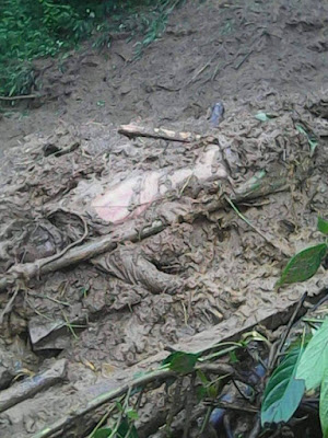
Subhro Niyogi,TNN | Jul 3, 2015,KOLKATA: Tingling, where at least 20 people died in Tuesday night's landslide, was marked highly susceptible in a landslide map available with the state government. The map, prepared by the Geological Survey of India, had identified all the areas in Darjeeling where landslides can occur and divided them into various zones according to vulnerability. Tingling was in the extremely vulnerable zone.
"I am not sure if the exact location of the village that has been washed out is indicated as highly susceptible but Tingling is definitely in the high susceptibility zone marked in the 50,000 scale topo sheet," GSI superintendent geologist Saibal Ghosh, an expert in landslides, told TOI.
Though GSI handed over the map to the government in 2006, construction has continued unabated in the past decade without consulting the document. Countless houses and hutments have come up in high-risk zones. "The map should be integrated with land use zoning regulation so that there is a minimum degree of precaution. The zoning map is a forecasting document. We have made a forecast. It is for the government to make use of it," said Ghosh.
Geology professor Harendranath Bhattacharya, too, feels rampant urbanization has disturbed the geology of the Hills. "Construction leads to hanging slopes without support from the base. GSI's landslide map is gathering dust while people are getting killed," he said.
Prasanta Samanta of geological science department at Jadavpur University also admits to a gut feeling about the tremors preparing the ground for landslides. "When the earthquake struck Nepal on April 25, I was at Paglajhora near Kuresong and witnessed how tremors disturbed the rocks. The series of tremors could have disturbed the soil compaction and loosened rock joints. Heavy rainfall triggered the crisis," said Samanta.
Bhattacharya feels that geologists should be stationed in Darjeeling to monitor the situation round the year. "There are resident geologists who keep vigil on Kashmir-Jammu road and keep it safe by spotting vulnerable areas and taking engineering measures like plantation, slope reduction, protection grouting, erection of retaining walls, construction of channels above the initiation zone to divert water and prevent the creation of a landslide. Bengal should similarly form a road maintenance division," said Bhattacharya.
Ghosh isn't sure about its feasibility but believes the best watchdogs are locals who inhabit the place. "If the local administration sensitizes people and sets up an early warning mechanism, lives can be saved," he added.


0 Response to "GSI had put Tingling in high-risk zone"
Post a Comment
Disclaimer Note:
The views expressed in the articles published here are solely those of the author and do not necessarily reflect the official policy, position, or perspective of Kalimpong News or KalimNews. Kalimpong News and KalimNews disclaim all liability for the published or posted articles, news, and information and assume no responsibility for the accuracy or validity of the content.
Kalimpong News is a non-profit online news platform managed by KalimNews and operated under the Kalimpong Press Club.
Comment Policy:
We encourage respectful and constructive discussions. Please ensure decency while commenting and register with your email ID to participate.
Note: only a member of this blog may post a comment.